-
-
$

In Stock
0 Review(s)

Price :
$1480
$1650
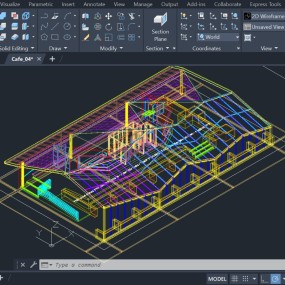
Autodesk InfraWorks 2027 is a powerful conceptual design, modeling, and analysis software tailored for civil engineers, urban planners, and infrastructure architects.
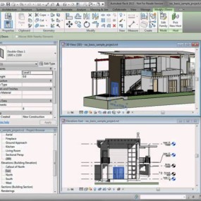
The 2027 release builds heavily on localizing intensive calculation engines, streamlining interoperability with Civil 3D and Revit, and boosting structural configuration options.
Embedded Corridor & Profile Optimization: The highly resource-intensive corridor and vertical profile optimization tools—which previously relied on external cloud credits and queues—are now embedded directly into the local InfraWorks engine.
Refined Profile & Curve Editing: The Curve Properties Panel in profile views now allows direct mathematical modifications (such as editing the specific $K$-value of a vertical curve) which instantaneously re-renders the profile alignment layout.
Optimized IMX Civil Structural Exports: File size footprints for IMX exports have been overhauled and drastically reduced, accelerating data handoffs to Civil 3D or Revit.
Unified Component Roads Architecture: All older legacy "design roads" are automatically upgraded to fully feature-rich Component Roads, unifying the toolsets so preliminary layouts immediately contain complete surfaces, cross-sections, and subassemblies upon import into Civil 3D.
Advanced Spiral Curve Handling: InfraWorks 2027 natively preserves specialized non-clothoid spiral curve profiles imported from Civil 3D during alignment edits, preventing unwanted automated conversions to clothoids.
Flexible Pier Placement: You can manually pin bridge piers to any precise location along a structural deck using standard right-click context commands without resetting existing girder groupings.
Custom Parameter Imports: Accepts parametric part and tunnel assemblies designed in Autodesk Inventor, giving planners the ability to tweak custom deck thickness definitions above roadway surfaces directly inside the InfraWorks stack display.
Autodesk Connector for ArcGIS: Real-time data sync with ESRI ArcGIS datasets, allowing custom attribute maps to be displayed directly inside the model stack.
Resilience & Flood Simulation: Built-in dynamic analysis tools allow teams to visually map out environmental risk indicators—simulating flood events, coastal surges, or structural vulnerabilities across large municipal grids.
InfraWorks models typically span several square kilometers, combining point clouds, terrain surfaces, and structural parameters. Consequently, it demands significantly higher system resources than standard architectural applications.
| Component | Minimum Requirement | Recommended Specification |
| Operating System | 64-bit Microsoft® Windows® 11 | Latest 64-bit Microsoft® Windows® 11 |
| CPU Type | Quad-Core Intel® Core™ i7 or AMD® Ryzen™ 7 (2.5 GHz+ base clock speed) | Multi-Core Intel Core i9 / Xeon or AMD Ryzen 9 / Threadripper (3.5 GHz+ base, 4.5 GHz+ Turbo for parallel geometry compilation) |
| Memory (RAM) | 16 GB | 32 GB to 64 GB RAM (64 GB is crucial if managing large city models with thousands of assets and embedded local optimizations) |
| Graphics Hardware | Dedicated DX11-compliant GPU with 4 GB VRAM (e.g., NVIDIA GeForce GTX 1660 / AMD Radeon) | Workstation-grade DX12-compliant GPU with 8 GB to 12 GB+ VRAM (NVIDIA RTX series or AMD Radeon Pro to manage heavy anti-aliasing and shadow viewport layers smoothly) |
| Display Resolution | 1920 x 1080 | 3840 x 2160 (4K ultra-high definition with optimized scale layouts) |
| Disk Space | 20 GB free space for installation files | 500 GB+ NVMe M.2 SSD (Massive local scratch disks are highly recommended; cloud-synced Model Builder datasets cache large chunks of local data) |
| Internet & Network | Required for cloud sync and ArcGIS authorization | High-speed connection for real-time model sharing via Autodesk Docs/BIM 360 |
No Return/Refund
No Review Found.


 Nuance Software

.png)


Login To Comment